Clagstone Country EstatesContact

Water

Community water to every homesite.
And why that is rare out here.

The real question out here is not plumbing, it is what is underneath you. Clagstone sits over one of the best aquifers in the Northwest, and everything else on this page is just the work of reaching it once, properly, on behalf of every homesite instead of once per lot.
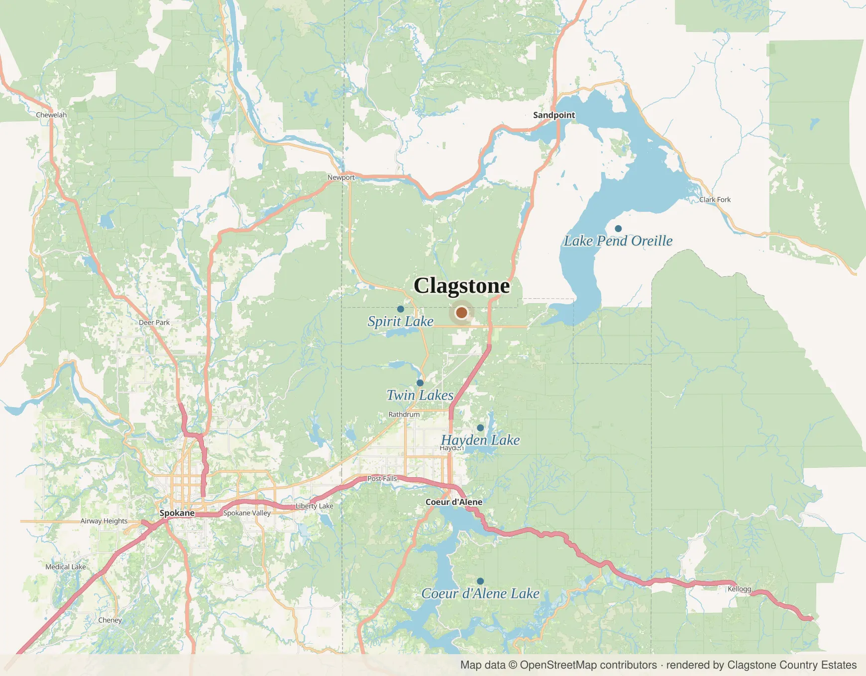
Regional map of the lakes around Clagstone: Pend Oreille, Coeur d'Alene, Hayden, Spirit and Twin Lakes

What the well drinks from

The aquifer under the prairie.

The site sits over the Spokane Valley-Rathdrum Prairie aquifer, in ground the engineers describe as deep, extremely well-drained granular soils. That aquifer is the quiet reason the whole design works: properly drilled, properly tested community wells instead of a separate gamble per lot into the same water. The neighborhood drinks from the same source the cities down the highway do, through a system it owns.

The same water, further along

Snow falls, ground drinks, aquifer fills.

The aquifer is not a tank somebody filled once. It is recharged every year by snowmelt off the mountains around this valley, moving down through the same gravel the plat sits on. That is why the water out here is what it is, and why a well drilled into it is a very different proposition from a well drilled into hope.

Rain beaded along pine needles on a backlit branch, the forest soft behind it.
Rain on the property, from the brand film. This is the front of the whole system: what lands here works down through the same gravel the plat sits on and into the aquifer the well draws from. The two below are the same snowpack, photographed elsewhere.
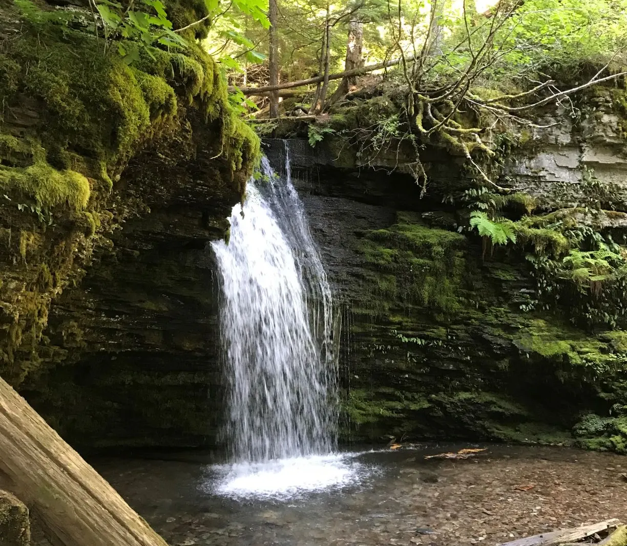
Shadow Falls on the Coeur d'Alene River, water dropping over dark rock through timber
Shadow Falls, Coeur d'Alene River Ranger District. Not our well, not our water, and about an hour away. It is the same snowpack and the same country, which is the part that matters.
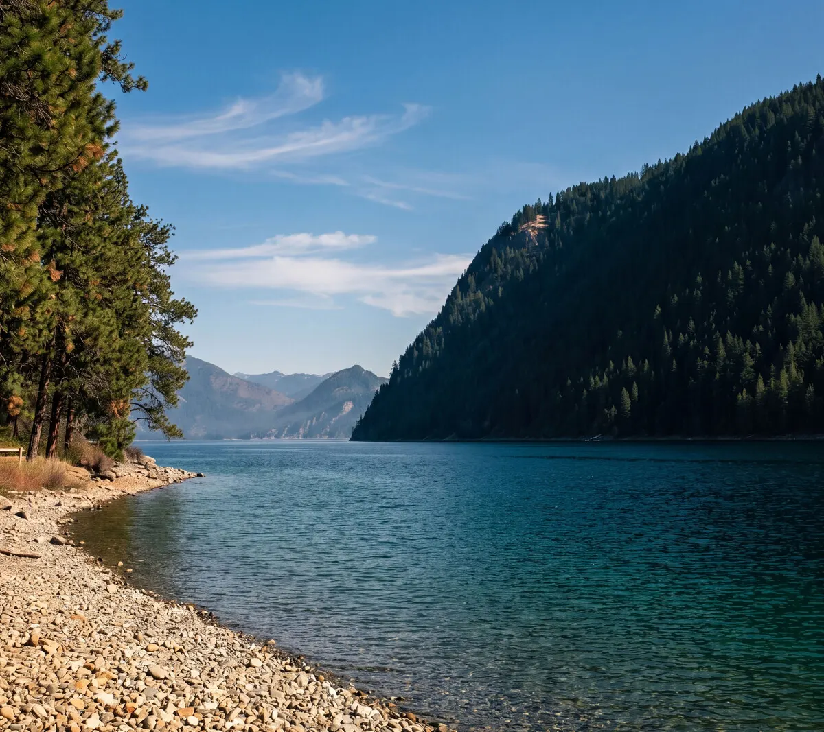
Lake Pend Oreille from Farragut State Park, deep water against timbered shoreline
Lake Pend Oreille off Farragut, twelve minutes east. Also not the well. The Navy tests submarines in it because it is the quietest deep water they have, which tells you something about what this country does with water.

What most rural lots get

A drill rig, and the truth afterward.

On ground like this you normally drill your own well. You own the pump, the pressure tank, the maintenance, and the risk, and you find out the depth and the water quality after you have paid for the hole. It works; families have done it for a century. It is also the single biggest unknown on a rural lot, and it lands in your budget at the worst possible time, somewhere between the land closing and the foundation pour.

What Clagstone puts at every homesite

Two wells, shared. Mains down every street.

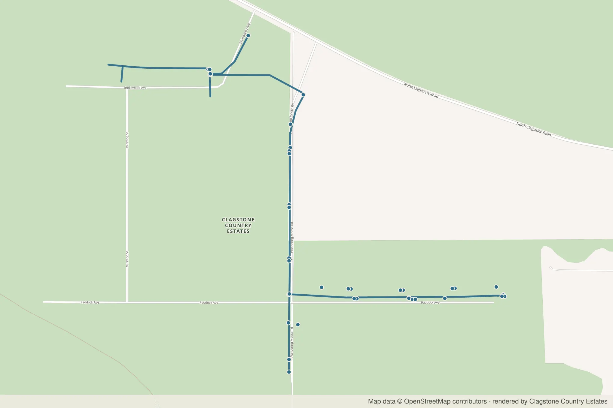
The approved construction plans put a community water system in the ground with the roads. Two wells and a water storage facility on the neighborhood's own tract, Tract C, serve every homesite, which is the system the county approved and the one now in review at DEQ. Water mains run the road corridor down Bridlewood, Mustang, Wandering Moose, and Paddock, with fire hydrants along the line. What reaches your lot is a service stub at the frontage. You connect a service line, not a drill rig.

Project: community waterSubject: well to lotSheet: 1 of 1By: the neighborhood
One-line diagram of the community water system: the wells and storage on Tract C feed the pumphouse, mains run Bridlewood, Mustang, Wandering Moose, and Paddock with fire hydrants on the line, ending at a service stub at your lot
From the well lot to your frontage, per the approved plans
Map of the platted streets with the surveyed water mains drawn along Wandering Moose Road, Paddock Avenue and Bridlewood Avenue, hydrants marked along the lines
The same mains and hydrants, on the streets they run down

Built to spec

The numbers off the stationing sheets.

These are construction figures from the approved sheets, not brochure adjectives.

Project: Clagstone Country EstatesSubject: water, as built to planSource: approved sheets C-12 to C-16A
Water main
5,478 ft
Main size
6 in PVC
Fire hydrants
5
Minimum bury
5 ft
Service to each lot
1 in
Testing standard
ISPWC
The main, the hydrants and the stubs, on the plat

Those come off the stationing: 3,098 feet of main down Wandering Moose and 2,379 down Paddock, inside a 20-foot easement, with five hydrant assemblies on 6-inch gate valves and a 1-inch service stubbed to every lot. Chlorination, bacteria, and pressure testing to ISPWC standards happen before anyone connects, and the booster pump runs on three-phase power from Northern Lights.

A red fire hydrant standing in deep snow, its pressure rating cast into the iron
Hydrants on the line. February does not care.

The other half

Your septic, your parcel.

Water is shared; wastewater is not. Every lot carries its own septic system, sized and sited with your builder and permitted through Panhandle Health District, which is one office for the whole northern panhandle rather than a county desk. Six acres gives it all the room it needs, and it keeps your household's system entirely in your own hands.

What the approved plans already settle, which forms you file, and who to file them with are all on the septic page.

The honest note

What is approved, exactly.

What exists on paper is the construction plan set, engineered by Olson Engineering and stamped by Lakes Highway District on February 3rd, 2026 with no exceptions taken. That is an engineering approval, and it covers the distribution system: the mains, the valves, the hydrants, the service to each lot. The well site itself is built under its own separate permit, which is the ordinary way a public water source gets approved.

The water right is issued and active: Idaho permit 95-18677, priority date May 14th of 2025, with two points of diversion on the tract the plat set aside for them. That one you can look up on the state's own website without taking our word for it, and it is the reason the well count on this page is two rather than one.

Both wells are drilled. That part is ours to say rather than the state's, for now. A driller has thirty days to file a well log and the state takes a while longer to publish it, so if you go looking in Idaho's well-log database today you will not find them yet. We would rather point at that gap than have you find it. The county is the reason the drilling came first: it will not let us post a bond against the wells and settle them afterward, so they have to be in the ground, with the driller's report showing what each one produces, before anybody signs a final plat.

What is still ahead is the permitting and the certification. The mains get laid and tested, the source gets its state approvals, and the water gets certified to ISPWC standards before a single home connects. When we say the unknown is answered, this page is what we mean by answered: a design a county reviewer signed without a single correction, and a set of numbers anyone can check.

The rest of the trench

The same open ground carries three-phase power, and fiber arrives at every lot under the same dedicated broadband agreement negotiated for the neighborhood. Water is the third leg of the same decision: put it in once, put it in right.

Come stand on the well lot.

Tract C is a short walk from the entrance. Come see where the neighborhood's water comes from.